by Mark Sutton, Molia.
As we know the Bristol Channel has the second highest tidal range in the world (first is the Bay of Fundy in Canada), and has somewhat of a reputation with sailors – but is home waters for all of us based in Portishead.
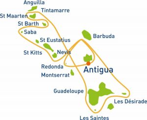
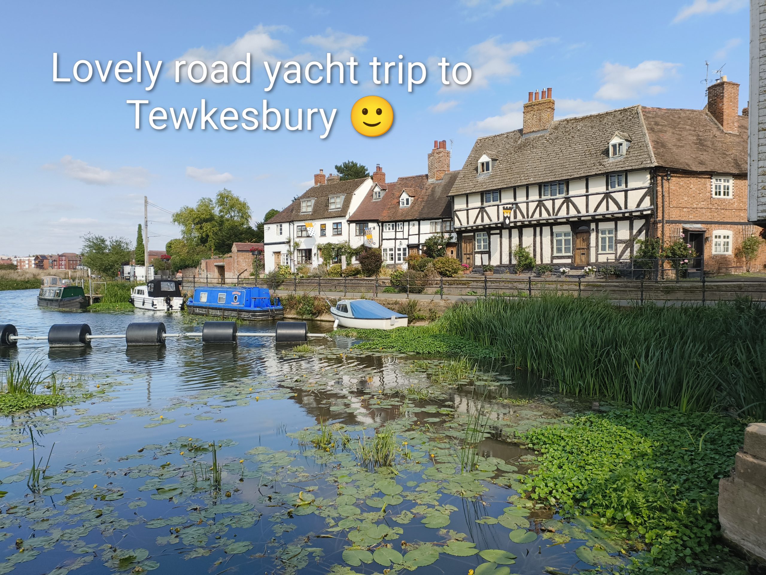
This June we decided to cruise all around the Bristol Channel; and spend some time in new and some in familiar moorings.
This is a story of sunshine, rain, azure-blue water, marinas, and sea locks (the mechanical kind – not the Scottish kind that it sounds like). You have to do locks and gates around here; and take care to navigate with the tides in mind.
Cardiff
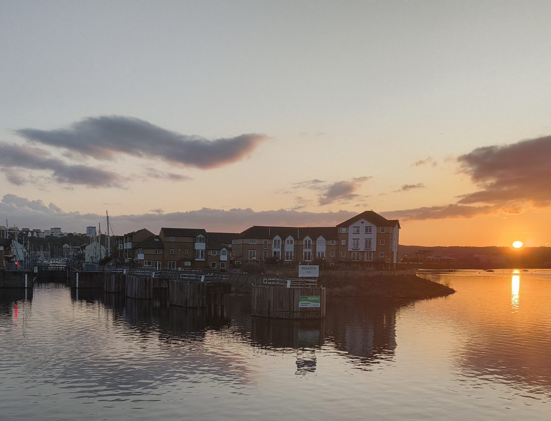
The first leg of our voyage was a short 18NM across the Severn to Cardiff and its Penarth marina. We do this a lot!
We met the paddle steamer Waverly off Clevedon in Somerset – just getting up steam in the early morning. She is the last seagoing passenger-carrying paddle steamer in the world, and a frequent sight on the channel.
Then through one of the 3 Cardiff Bay Barrage locks (Ch.18) into the freshwater lake behind. Usually there is access for vessels with a draft of under 2m at all states of the tide, unless there has been silting (lock control will know). We avoid low water at springs by a healthy hour and a half!
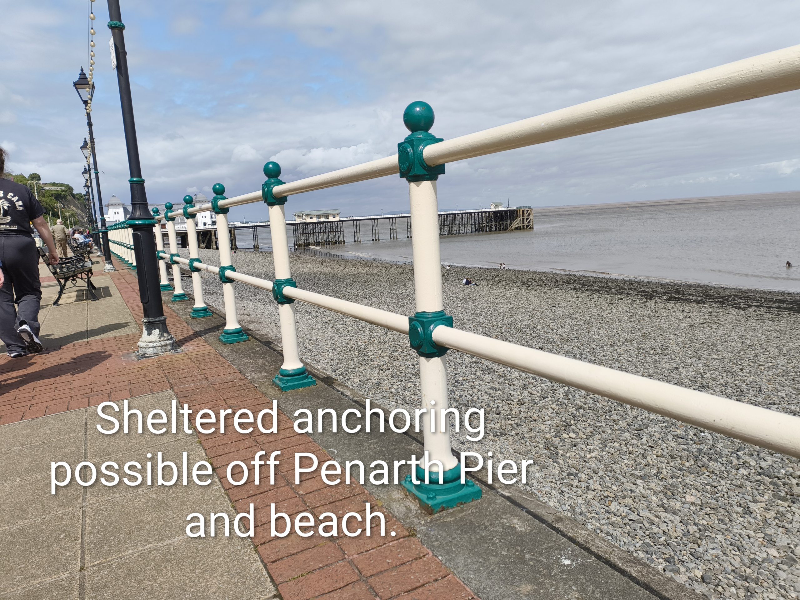
Penarth marina (Ch.80) is a very sheltered mooring as it is inside the barrage, and behind a hill in prevailing winds.
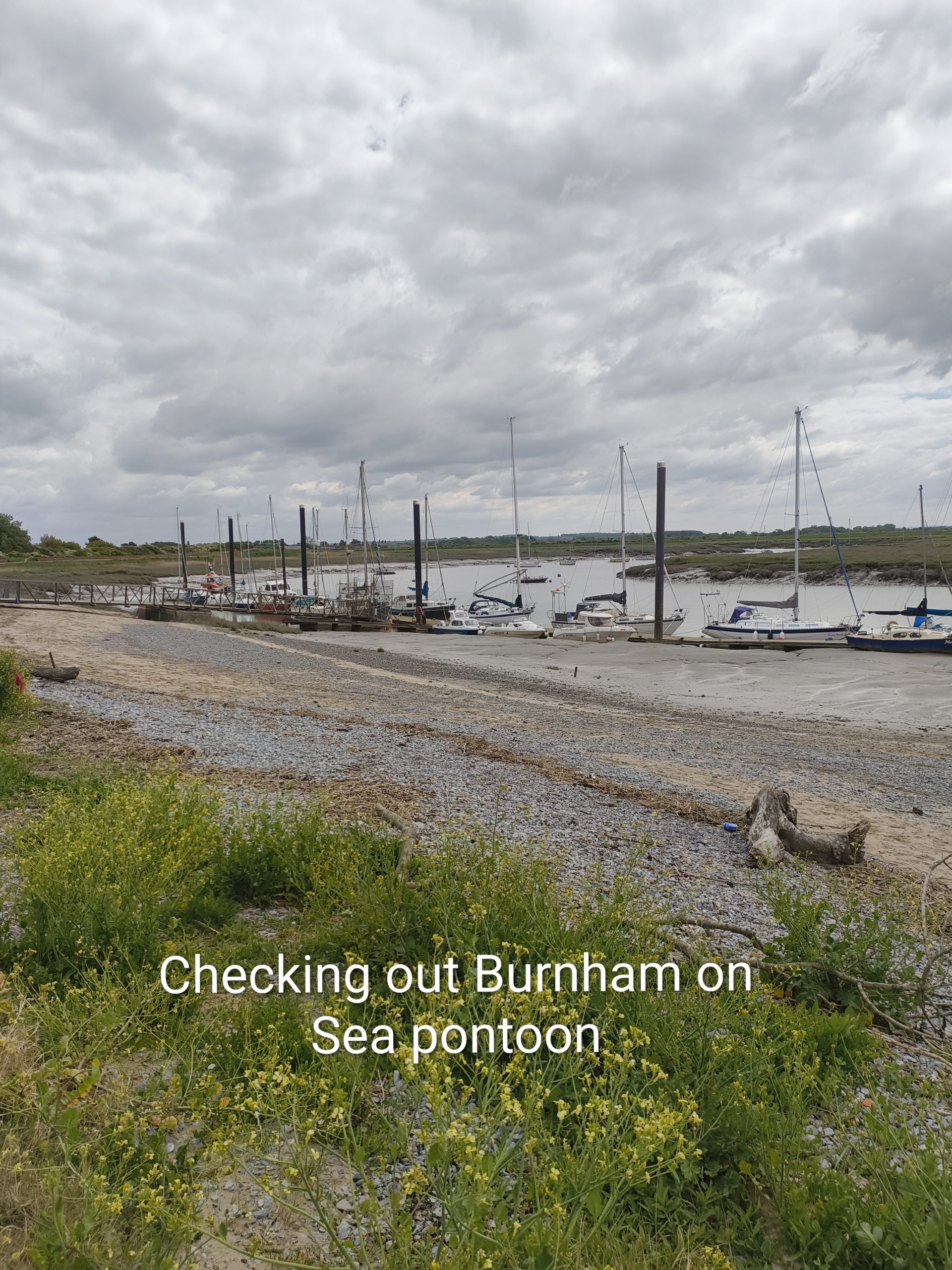
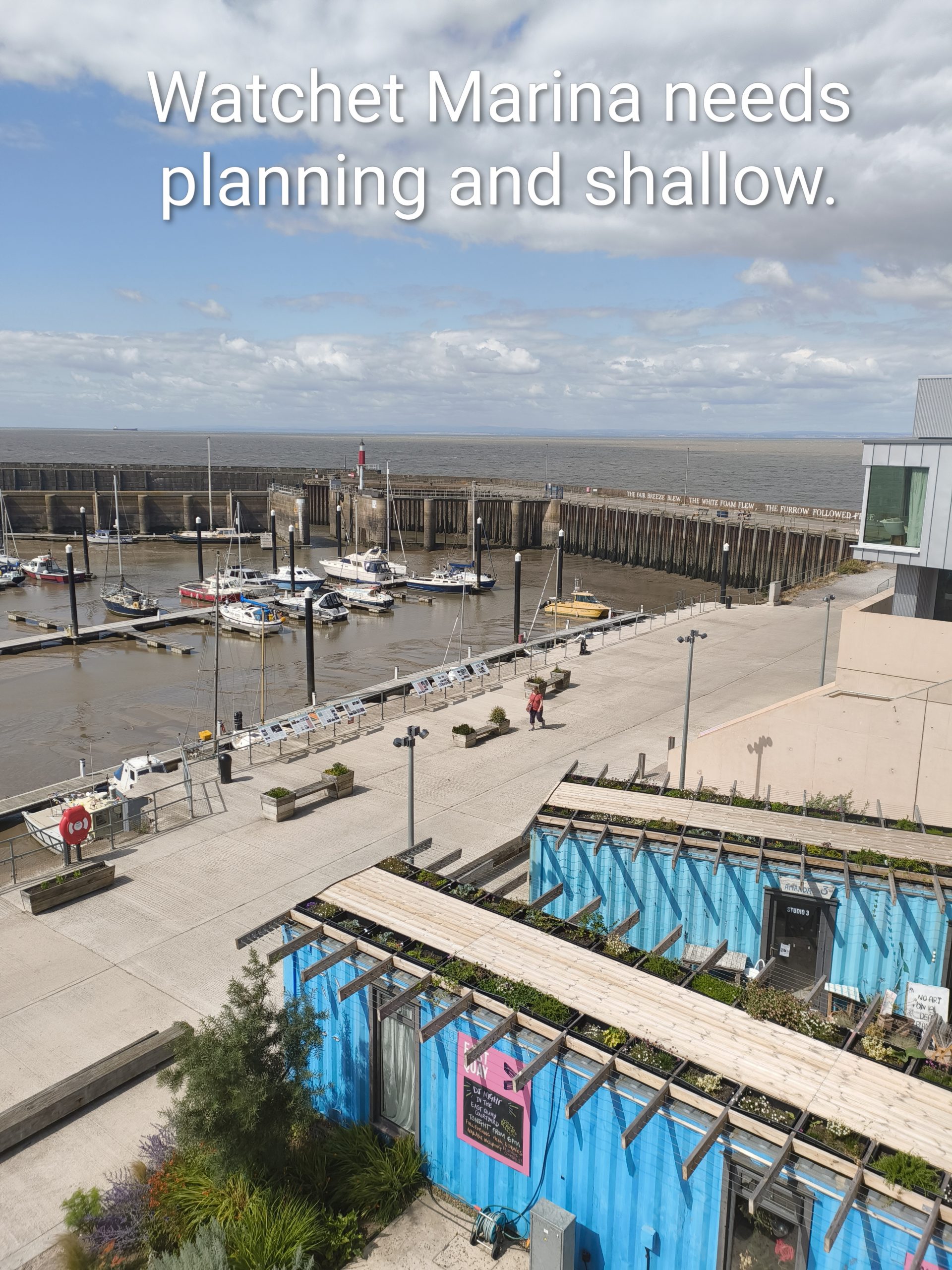
Swansea
Next, on to Swansea – 46NM with the tide. We left Cardiff Bay an hour after high water, and the fast ebbing tide accelerating us past Barry, to Nash Point (there is a lighthouse) and on towards Porthcawl. The brave (not us) can go landwards of the Nash sandbanks to gain extra speed from the tide; but the rest of us go around them and then also outside the Scarweather Sands further west.
Swansea Harbour entrance has a reputation for being tricky, but take advice from the lockmaster at Tawe Lock (Ch.18) – he is very helpful and will guide you in.
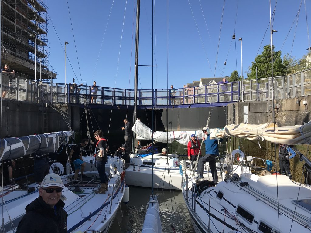
All the Swansea locks have handy grab ropes to make tying-up easier. Once through the sea lock there is a second lock in the River Tawe into the marina (Ch.80) – and then you have to tie up at the marina visitor’s pontoon as well.
At Swansea the locks are only operated 0700-2200 during BST, and are subject to additional (published) closures at low water springs.
The rain started just outside Cardiff, so I sent Jo down below – there is no point in both of us getting wet! As you can see it was still raining in the lock at Swansea! The rain stopped almost as soon as we had tied up in the marina.
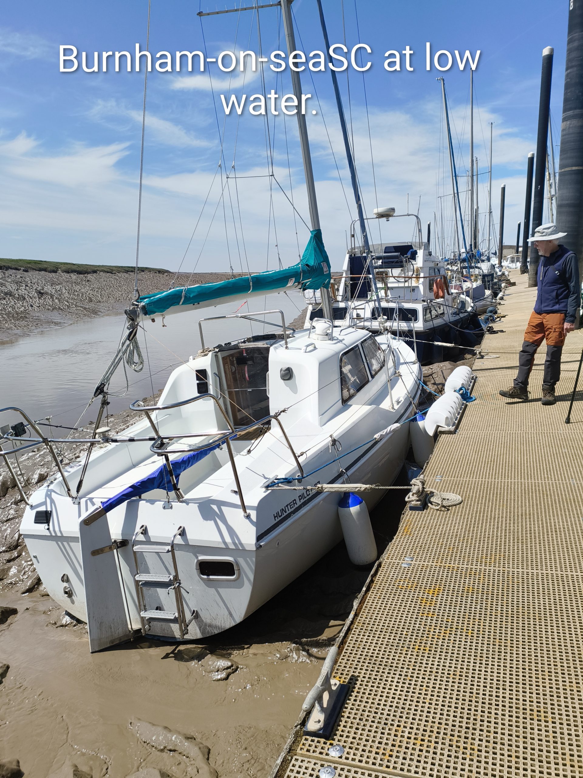
Swansea is another very sheltered berth, built in the old docks (which are vast). There is a lot of smart new development around this waterfront, including restaurants, and the city centre is just a block inland.
Milford Haven
Next up: 57NM to Milford Haven. As it was a neap tide, we left Swansea just half an hour after low water and we were fine. It started to rain a couple of hours into the trip.
As you can see from the sketch chart, just off Tenby we had to curve around the military firing zone (which is active most weekdays) before heading in. It is probably worth factoring this in immediately after rounding the Gower; I think making a more southerly course across Carmarthen Bay would save distance later.
Access to Milford Haven is at all states of the tide – but take care in the approach channel at low water springs. The sea lock (Ch.14 ‘Pier Head’) itself has nice new floating pontoons on each side. We noticed that the advertised waiting pontoon was missing. It had not been put outside the harbour by the time we arrived on 13 June – but we did not need it. We got there around high water, and the lock was on freeflow.
It was great to stay in Milford Marina. It is a friendly place, has good facilities, is right in the town, and there is a big supermarket one street back.
Padstow
After our stay in Milford our next leg was 77NM right across the mouth of the Bristol Channel to Padstow. We left Milford an hour after low water, at about 0630, planning to arrive in Padstow Bay just about sunset and therefore around 2 hours before high water which was at 2333. The gate at Padstow is open at the very earliest 2 hours before high water.
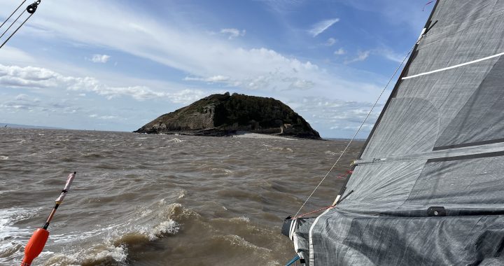
The grey skies at the start of the day soon turned to blue, and the sea became a bright azure that I am sure rivaled the colour in the south of France. We saw puffins nearer to Wales, and then dolphins on and off all the way to Cornwall. With a light wind directly behind us, we motor sailed, making good progress.
But in the end we went too fast! At about 1830 we cut the engine and drifted the last 10 NM into Padstow Bay.
You can wait for the tide in the bay by anchoring behind Stepper Point if the wind is in the right direction. This requires great care as it is over the notorious Doom Bar sandbank, and it is often a rolly anchorage. Interestingly the name ’Doom Bar’ is said not to be derived from the perceived danger – it is understood to be from a corruption of ‘dun’ describing the colour of the sand. Nevertheless, we prefer not to anchor here, and anyway today the wind (such as it was) was blowing directly into the bay.
The harbour gate (Ch.12) opens at 2 hours before high water at the earliest. On a neap tide like today it opened promptly just after 2130, and we made our way up the River Camel with a small group of boats.
Berths here are mostly against the wall or rafted on other boats (there are also a very few on pontoons in the middle). Use a board to protect your fenders when on the wall – you can borrow one at the harbour office free-of-charge. There are plenty of electric points and water taps around. We did find that this year the harbour building is currently being rebuilt – this halved the number of bathrooms, but it was not a problem.
It is always a great pleasure to wake up in Padstow Harbour; it is the natural centre of the town, and there are lots of shops and places to eat. There is also a large supermarket a short walk up the hill. In the daytime the harbour sides swarm with land visitors; but they do not arrive early in the morning, and have left by the night – so then you have the place to yourselves.
We spent a week in Padstow, swam in the sea over Doom Bar and walked north onto Stepper Point to visit the day mark and National Coastwatch Institution (NCI Padstow) lookout. We also walked east on the Camel Trail to Wadebridge. This path follows the river on a disused railway, and is part of the national cycle network – so there are a number of bike hire places if you prefer to cycle.
Swansea and back
At last it was time to leave and make our way back 80NM to Swansea. As this was 7 days after we arrived, the tide had moved around to the early morning – so we left as soon as the gate opened at 0430 – it was just daylight!
This was a pleasant trip with wind and swell behind us. But there was a spring tide against us for the first part of the day, so we avoided the Hartland Point tidal gate and set our course close to Lundy.
We arrived back at the Tawe Lock in Swansea at 1830, just before high water, and the lock was on free flow. Now on our way back, we spent a few days in Swansea in better weather! We walked on the coast path around Oyster Bay from the docks to Mumbles Head.
Lastly, from Swansea we retraced our route back to Cardiff and Portishead.